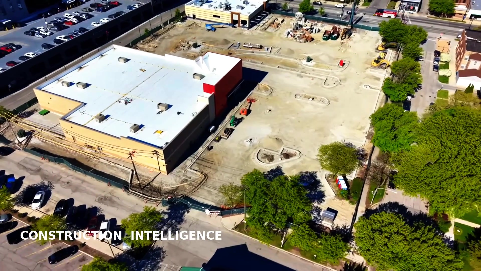
Infrared thermography is one of the best ways to find hidden problems in a building — trapped roof moisture, heat loss through the envelope, failing solar panels, and overheating electrical connections all show up as temperature differences long before they are visible to the eye. But there are two very different ways to capture that data in Chicago: fly a radiometric thermal camera on a drone over the whole structure, or have a technician scan surfaces one at a time with a handheld infrared camera. This page compares the two honestly so you can choose the right approach for your property.
The short answer: for roofs, facades, large solar arrays, and any elevated or hard-to-reach exterior, an aerial thermal drone inspection gives you faster, safer, and far more complete coverage. Handheld infrared still shines for interior work, electrical panels, and close-up confirmation of a known issue. The two are complementary — but for whole-building exterior surveys, the drone is the clear winner.
At a Glance: Thermal Drone vs Handheld Infrared
| Factor | Thermal Drone Inspection | Handheld Infrared Inspection |
|---|---|---|
| Coverage | Entire roof/facade in one consistent pass | One spot at a time; gaps are common |
| Roof access | Flies above — no walking the roof | Requires roof access, ladder, or lift |
| Scale | Ideal for large commercial sites | Best for small, accessible areas |
| Speed | A full roof in minutes of flight | Hours to walk a large surface |
| Safety | Technician stays on the ground | Working at height on roofs/ladders |
| Reporting | Geo-tagged, repeatable, annotated map | Individual images, harder to compare |
Coverage: Whole Surface vs One Spot at a Time
The single biggest difference is coverage. A handheld infrared camera only sees the small area a technician points it at, from wherever they happen to be standing. On a large Chicago commercial roof or a tall masonry facade, that means walking — or climbing — the entire surface, frame by frame, hoping not to miss anything. Gaps and inconsistent angles are almost inevitable.
A thermal drone flies a planned path over the whole structure and captures even, overlapping coverage in a single session. Nothing gets skipped, the angle and distance stay consistent, and the result is a complete thermal picture of the roof or facade rather than a scattered handful of snapshots. For surveying an entire building, that completeness is the whole point.
Roof Access and Safety
To use a handheld camera on a roof, someone has to get on the roof — by ladder, hatch, or lift — and then move across it, often near edges and rooftop equipment. That is exactly the kind of work-at-height risk that drives OSHA fall-protection requirements. On Chicago's older buildings and steep institutional roofs, simply getting a person up there safely can be the hardest part of the job.
A thermal drone removes that problem. The technician stays on the ground while the aircraft does the flying, so there is no roof access required, no ladder, and no fall exposure. That is safer for everyone and lets us inspect fragile or steep roofs that would be dangerous to walk. The same advantage is why drones beat ladders and lifts across inspection work — see our drone vs lift inspection comparison.
Scale and Speed
Handheld infrared is perfectly fine for a small, accessible target — a section of wall, a single panel, an electrical cabinet. It does not scale. Surveying a large warehouse roof, a multifamily complex, or a sprawling solar array by hand can take hours and still leave coverage gaps.
A drone captures the same large surfaces in minutes of flight, then moves to the next elevation or array immediately. For Chicagoland facility managers responsible for big roofs and multiple sites, that speed turns a full-day undertaking into a same-day deliverable, and makes regular, repeatable inspections practical rather than painful.
Finding Moisture and Hotspots
Trapped roof moisture reveals itself as heat-retention patterns, typically captured after sunset when wet insulation releases stored heat more slowly than dry areas. Mapping those patterns across an entire roof is exactly what an aerial thermal survey does well — and exactly what a handheld camera struggles with, because you can only confirm one suspected spot at a time. The same holds for solar farms, where a drone can scan thousands of panels and flag hotspots, bypass diode failures, and dead cells far faster than a ground crew.
Where handheld infrared excels is interior and electrical work: scanning indoor panels, motors, breakers, and equipment up close, where a drone can't fly. The best programs use both — the drone for the whole exterior and roof, the handheld for targeted interior confirmation.
Reporting and Repeatability
A handheld inspection typically yields a set of individual thermal images that are hard to relate to one another or to compare against a future visit. An aerial thermal inspection produces geo-tagged imagery tied to position, which means we can deliver an annotated report that marks each anomaly, ranks it by severity, and recommends a next action — and we can repeat the exact same survey months later to track whether a problem is growing. Combine that with our orthomosaic mapping and you get measurable, location-accurate documentation your roofer, engineer, or insurer can act on directly.
When Handheld Infrared Is the Right Choice
Handheld infrared is the better tool for indoor inspections, electrical panel and equipment scans, mechanical troubleshooting, and small accessible areas where flying a drone isn't possible or necessary. It is also ideal for a quick, close-up confirmation once a drone survey has already pinpointed where to look. We're not against handheld IR — we just deploy it where it actually wins, and fly the drone for everything large, elevated, or hard to reach.
Bottom Line for Chicago Property Owners
For whole-roof, facade, and solar thermal surveys on Chicagoland buildings, an aerial thermal drone inspection delivers more complete coverage, faster results, and safer, repeatable data than a handheld infrared camera. Handheld IR remains valuable for interiors, electrical work, and close-up confirmation. As a local, fully insured FAA Part 107 operator who flies radiometric thermal sensors and knows O'Hare and Midway controlled airspace, we file LAANC authorizations in advance and keep your inspection compliant. Learn more in our Drone Knowledge Center, or see why drones outperform traditional methods.
Frequently Asked Questions
What is the difference between a thermal drone inspection and a handheld infrared inspection?
A thermal drone inspection flies a radiometric infrared camera over an entire roof or facade, capturing consistent, geo-tagged heat data across the whole surface in one pass. A handheld infrared inspection scans one spot at a time from the ground or a ladder, which is fine for small targeted checks but slow and incomplete on large or elevated surfaces.
Can a handheld infrared camera inspect a whole roof?
Not effectively. A handheld camera can only see the surfaces a person can physically reach and point at, so a large or steep Chicago commercial roof would require walking the entire surface or using a lift. A thermal drone captures the full roof from above quickly and safely, with even coverage and no missed areas.
Which is better for finding roof moisture?
For whole-roof moisture surveys, the thermal drone wins. Trapped moisture shows up as heat-retention patterns after sunset, and a drone maps those patterns across the entire roof in one consistent flight. A handheld camera can confirm a specific suspected area but is impractical for surveying an entire commercial roof.
Is a handheld infrared inspection ever the right choice?
Yes. Handheld infrared is well suited to interior work, indoor electrical panels and equipment, small accessible areas, and close-up confirmation of a known problem. For large, elevated, or hard-to-reach exterior surfaces, the aerial thermal drone is faster, safer, and more complete.
Do both methods use radiometric thermal imaging?
They can. Radiometric means each pixel carries an actual temperature value, which allows precise measurement and severity ranking. We fly radiometric thermal sensors on our drones so anomalies can be quantified and compared over time, not just seen as warm or cool colors.
Get a Complete Thermal Picture of Your Building
Survey your entire Chicago roof, facade, or solar array in a single flight — safely, accurately, and with a report you can act on.
Request a Free QuoteOr call Dan Gierke, FAA Part 107 pilot, directly at 847-881-4344.