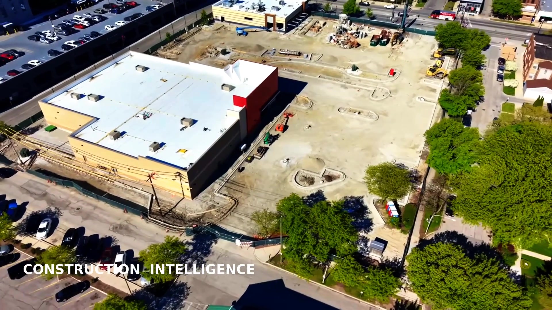
An orthomosaic map is a single, high-resolution aerial image of your entire site, stitched from hundreds of overlapping drone photos and geometrically corrected so that every pixel sits in its true geographic position. The result is a to-scale, geo-referenced map you can measure, annotate, and share — captured this week, not three years ago like the satellite imagery most planning tools rely on. Chicago Drone Service produces measurable orthomosaic maps for construction sites, land parcels, campuses, and industrial facilities across Chicago and the surrounding Cook, DuPage, Lake, Will, and Kane County suburbs.
We don't just hand you a file and disappear. Every map is flown by Dan Gierke, an FAA Part 107 Remote Pilot in Command who knows how to operate in Chicago's controlled airspace near O'Hare and Midway, then processed and delivered with the analysis your team actually needs: measured acreage, marked features, elevation data, and change detection between flights. Most Chicagoland sites are flown in a single visit and delivered within about 48 hours.
What Is an Orthomosaic Map?
A normal aerial photo is taken from one point in the sky, so objects near the edges lean and distances are distorted. An orthomosaic fixes that. By combining many overlapping images and correcting for lens distortion, camera angle, and terrain, we produce a map where the scale is consistent everywhere on the image. That's what makes it measurable — you can pull real distances, areas, and acreage directly off the map and trust the numbers.
Because the map is geo-referenced, every feature has real-world coordinates. That means it drops cleanly into GIS platforms, CAD drawings, and web viewers, and it lines up perfectly with maps from previous flights so you can compare a site month over month. If you want the deeper background on how this technology works, our drone knowledge center explains orthomosaics, photogrammetry, GSD, and ground control in plain language.
Centimeter-Level Accuracy with Ground Control
Accuracy isn't one-size-fits-all, and you shouldn't pay for more than your project needs. For planning context and progress documentation, relative accuracy straight off the drone's GPS is usually plenty. For engineering, earthwork bidding, and legal-grade documentation, we place and survey ground control points (GCPs) across the site, which anchors the map to known coordinates and pushes absolute accuracy to the centimeter level.
- Ground sample distance (GSD) tuned to the detail you need — fine enough to read cracks, joints, and markings
- Surveyed GCPs for projects that require verified, repeatable absolute accuracy
- Checkpoints and accuracy reporting so you know exactly how trustworthy the numbers are
- Consistent flight planning so repeat maps of the same Chicago site align flight to flight
GIS, CAD, and the Deliverables You Can Actually Use
The map is only useful if it opens in the software your team already runs. We deliver in the formats designers, engineers, and asset managers expect:
- Georeferenced GeoTIFF ready for Google Earth, ArcGIS, or QGIS
- DXF/DWG exports that drop straight into AutoCAD and Civil 3D
- Digital Elevation and Surface Models (DEM/DSM) plus contour lines when you need terrain
- Point clouds for engineering, volumetrics, and integration with 3D models and digital twins
- Annotated PDFs and area/distance reports anyone can read without a GIS license
- A hosted web link you can send to a client, a city reviewer, or a lender — they see exactly what you see, no software install
Volumetrics and Earthwork Measurement
Stockpiles and excavation are where mapping pays for itself. From a single flight we calculate stockpile volumes for aggregate, soil, and material, and we model cut-and-fill so earthwork gets bid from real numbers instead of guesses. Fly the same pile every few weeks and we'll report the cubic-yard delta period over period — so pay applications go uncontested and your CFO gets numbers in a format they trust. For full construction programs, this pairs naturally with our construction aerial documentation service.
Use Cases Across Chicagoland
Construction and Development
Track grading, staging, and progress across long builds from River North to the suburbs, and give your PM a clean overhead map instead of a folder of disconnected photos.
Site Planning and Design
Architects and civil engineers start design from current, measurable site conditions — paved areas, structures, drainage, and access — rather than outdated records.
Land Acquisition and Due Diligence
Measure a parcel, see what's actually on it, and flag wetlands, easements, or grading issues before due diligence closes on a Cook or DuPage County property.
Solar, Utilities, and Large Assets
Lay out arrays, roads, and infrastructure on a measurable base map, and pair the ortho with thermal inspection data for panel performance.
Boundary, Encroachment, and Dispute Documentation
Time-stamped, geo-referenced evidence that holds up with adjacent owners, the municipality, or in a dispute — clear enough that no one needs special software to understand it.
How We Map Your Site
A clean, accurate orthomosaic comes from disciplined capture, not luck. Here's the process we run on every Chicagoland project, from a small infill lot in Pilsen to a sprawling industrial parcel in Will County:
- Flight planning — we set altitude, overlap, and grid pattern for the resolution your project needs, and confirm any LAANC authorizations before we arrive
- Ground control — for accuracy-critical jobs we place and survey GCPs across the site so the finished map is anchored to real coordinates
- Automated capture — the drone flies a precise grid, shooting hundreds of overlapping images on a single visit
- Processing — photogrammetry software stitches and corrects the imagery into a single geo-referenced map, plus elevation models and point clouds where requested
- Analysis and delivery — we pull the measurements you asked for, write up area and volume reports, and deliver files plus a hosted link, typically within about 48 hours
Need the same site mapped repeatedly? We keep the flight plan on file so every future map aligns with the last, which is exactly what makes progress tracking and volumetric change reports reliable over the life of a project.
Straightforward Mapping Pricing
Aerial site mapping (orthomosaic) starts at $975, which includes 1–3 acres — standard data capture, processing, and delivery of the base deliverables below. Additional acreage is billed at $50 per acre.
Base Deliverables Included
- Orthomosaic (GeoTIFF)
- 2D surface map
- Digital Elevation Model (DSM)
- KML file for easy viewing
- Basic area calculation
Value-Added Deliverables (Add-Ons)
- Digital Terrain Model (DTM)
- 3D point cloud
- Contour map
- CAD / GIS file export
- Stockpile / cut-fill volumes
- Thermal mapping
- 3D mesh / digital twin
- Progress monitoring reports
Final pricing can vary with airspace requirements, site access, ground control needs, and rush timing — request a quote and we'll confirm the number before flying.
Why a Local Chicago Part 107 Pilot
Chicagoland airspace is some of the busiest in the country. Mapping a site near O'Hare, Midway, the lakefront, or downtown means knowing where LAANC authorizations apply, where altitude is capped, and where flight simply isn't allowed without a waiver. We handle that planning so your map gets captured legally and on schedule. We're fully insured and can provide a certificate of insurance to your risk team. Curious how drone mapping stacks up against a traditional crew? See drone mapping vs. traditional surveying, and explore the full list of areas we serve across the region.
Frequently Asked Questions
What's the difference between an orthomosaic and a regular aerial photo?
A regular aerial photo is distorted by camera angle and terrain, so you can't trust measurements taken from it. An orthomosaic is geometrically corrected and geo-referenced, so it's to-scale everywhere and you can measure real distances, areas, and acreage directly on the image.
How accurate are your maps?
With surveyed ground control points, our orthomosaic maps reach centimeter-level absolute accuracy. Without GCPs, relative measurements are still highly reliable for planning, volumetrics, and progress tracking. We set the accuracy level to match what your project requires.
How long does it take to get my map?
Most Chicagoland sites are flown in a single visit and the finished, measurable map is delivered in about 48 hours. Larger or multi-flight projects take a little longer for processing and quality control.
Does a drone map replace a licensed land survey?
It's perfect for planning, volumetrics, progress documentation, and design context — far faster and cheaper than a traditional crew. For legal boundary determinations and recorded plats you still need a licensed surveyor, though drone data can support and accelerate that work.
What do you need from me to map a site?
Just the site location and access details, plus any accuracy or deliverable requirements. We handle airspace authorizations, flight planning, ground control, processing, and delivery.
You shouldn't have to guess what's on your own land. We'll show you, measured.
Request a Free QuotePrefer to talk it through? Call Chicago Drone Service at 773-213-6859.